AI-Automated Satellite Image Analysis

Quickly identify risks to infrastructure

Spacept’s satellite image analysis equips inspection and management processes to be time, cost and energy efficient.

Book A Demo

Save time with accurate risk assessments that match project scale.

Optimize and recover expenses with automated inspection.

Reduce emissions through satellite-informed methods.

Electricity Infrastructure

Read more

Pipeline Infrastructure

Read more

Railway Infrastructure

Read more

 Road   Infrastructure

Read more

UAV & Helicopter Assistance

Read More

Miscellaneous Products

Read More

How much can you save with AI-powered satellite inspection?

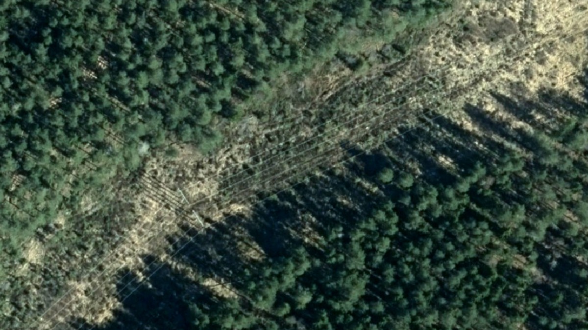
Before Spacept’s Technology

Fresh raw imagery is collected from selected area
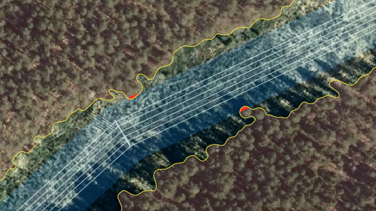
After Spacept’s Technology

Our algorithms automatically detect critical risks and damage to infrastructure

Accelerated by

Awarded finalist

Awarded finalist

Data partner

Trusted by

Approved by

Data partner

Funded by

Accelerated by

Collaborator

Accelerated by

Top 3 finalist

Funded by

Powered by

Highlighted by

As featured on

Upgrade to Spacept?

Like Nothing You've Seen. Contact Us For A Spacept Demo.

Contact Spacept