pipeline infrastructure analysis

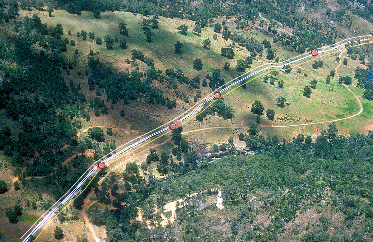
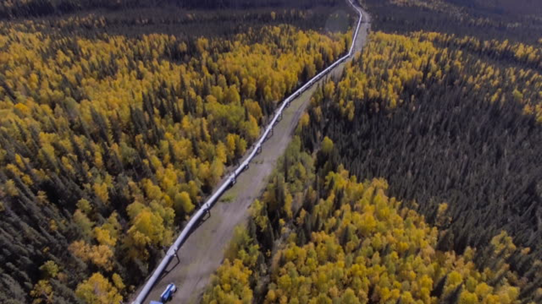
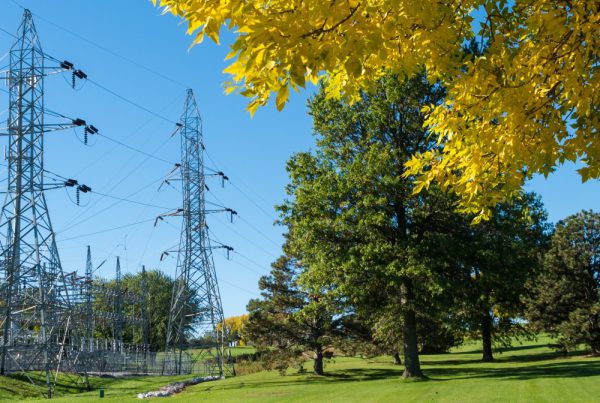
Our technology streamlines how businesses protect their pipeline infrastructure.

Risk prevention through Spacept's computer vision and satellite imagery solution is the most efficient your business has seen.

spacept's value

A solution that enables resilience.

At Spacept, we help oil and gas companies detect risk before the trouble happens.

Here, we utilize high resolution satellite imagery with custom algorithms to conduct large scale analysis. Specifically, our solution can cover hundreds of miles within seconds. Compared to traditional methods, our technology enables the quickest lead times at the lowest cost.

Ultimately, we offer the best product for your business with respect to time, money, and efficiency.
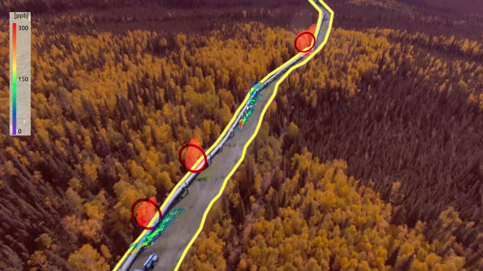
Our Process

Data Acquisition

Here, we provide businesses with data most suitable to their needs. By using the concerned area’s coordinates, we can collect optical or radar data from our suite of data partners.

AI-Powered Analysis

After processing, we then put the satellite imagery into our custom tailored algorithms to generate results.

Provide Results

Then, we provide these results in the most optimal format that tailors to your business needs.

Pipeline Infrastructure Solutions

Oil & Water Leak Detection

Through custom machine learning algorithms, Spacept's technology can detect and locate oil leaks from above ground pipelines. Specifically, we detect leakages in a fraction of the time comparing to other traditional methods of pipeline inspection.

Pipeline Right of Way Encroachment

In addition, Spacept can detect either legal or illegal third-party encroachment of pipeline right-of-way. Using our change detector, we can compare changes from two periods and report potential encroachment threats.

Greenhouse Gas Pipeline Leakage

Satellite data allows us to map plumes of gas leaks released from different sources. This product is still under development.

Growth & Health of Vegetation Around Pipeline Infrastructure

Using specialized satellite data, we determine the growth of vegetation over a specified period and identify these changes. By mapping the changes over time periods, we can predict future results and risk levels.

Vegetation Encroachment Around Pipeline Infrastructure

Our risk generation models determine vegetation that grows too close to pipelines. This tool measures horizontal distance between the tree and pipeline and then automatically identifies certain risk levels based on the distance and other environmental considerations.

Learn more about Spacept

Blog

How utility companies can save lives with AI from space

Introduction Naturally occurring forest fires are necessary for a diverse and resilient ecosystem. However, global warming has exponentially increased the frequency and severity of fires…
Case Study

Transforming Vegetation Management from the Dixie Fire

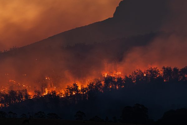
Introduction Wildfires have become an increasingly regular occurrence across the world, from Greece and Turkey to Australia and California. Causes vary from stray cigarettes, unextinguished…
Blog

How Spacept’s Leak Detection Streamlines Oil Spill Response

Oil spills have often been an inevitable part of the fossil fuel industry. The margin of error has grown over the years for various reasons;…