electricity infrastructure analysis

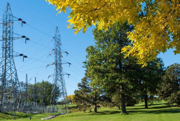
Our technology streamlines how businesses protect their electricity infrastructure.

Risk prevention through Spacept's computer vision and satellite imagery solution is the most efficient method your business has ever seen.
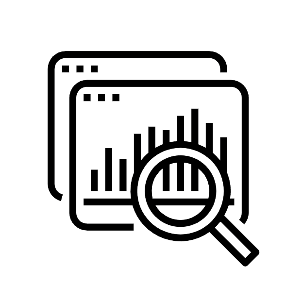
Electricity infrastructure analysis using satellite imagery and AI technology
Vegetation monitoring for electricity infrastructure from space Powerlines data analysis of vegetation monitoring
spacept's value

A solution that enables resilience.

At Spacept, we help utility companies detect risk before the trouble happens.

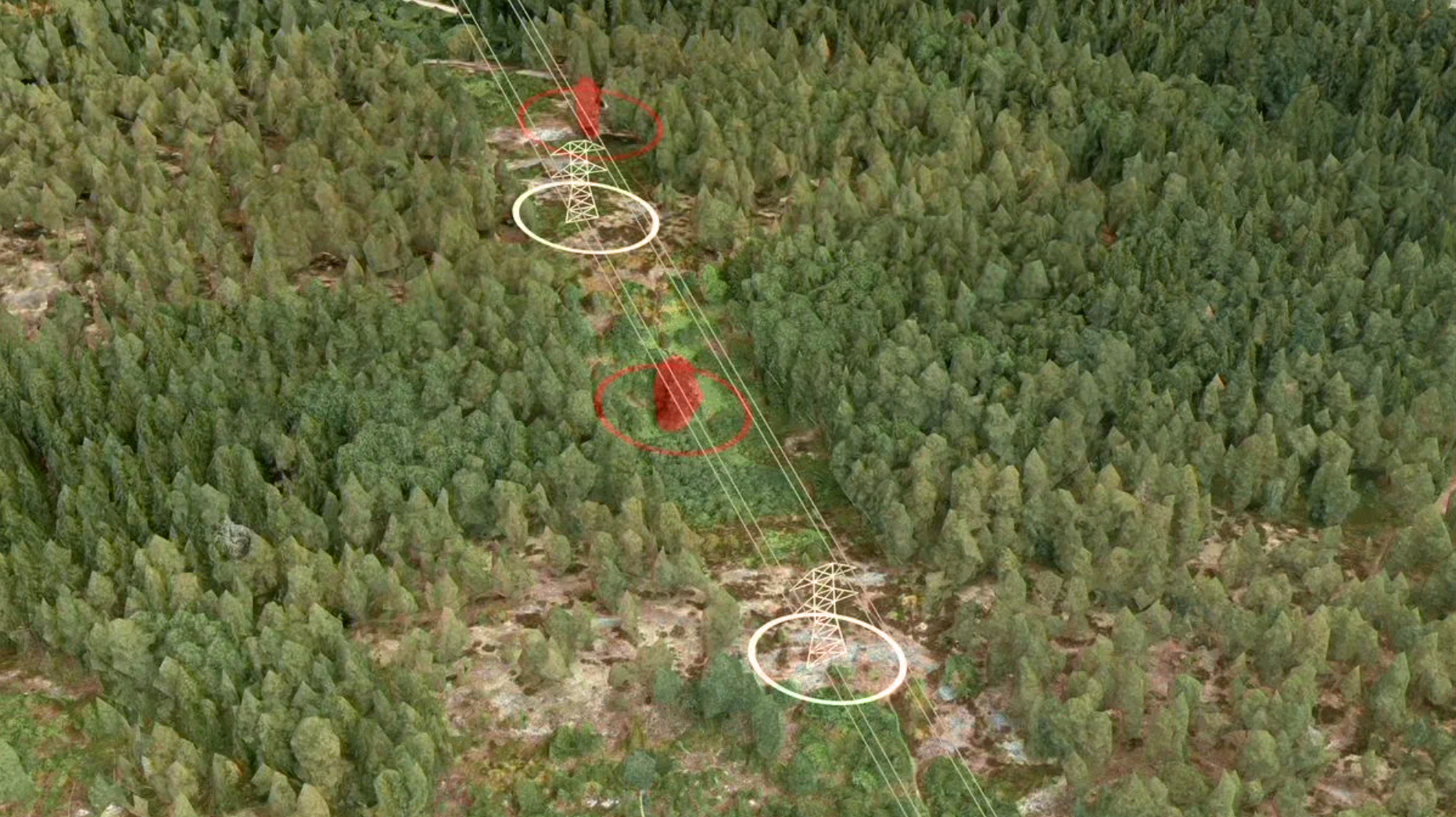
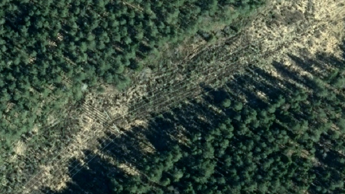
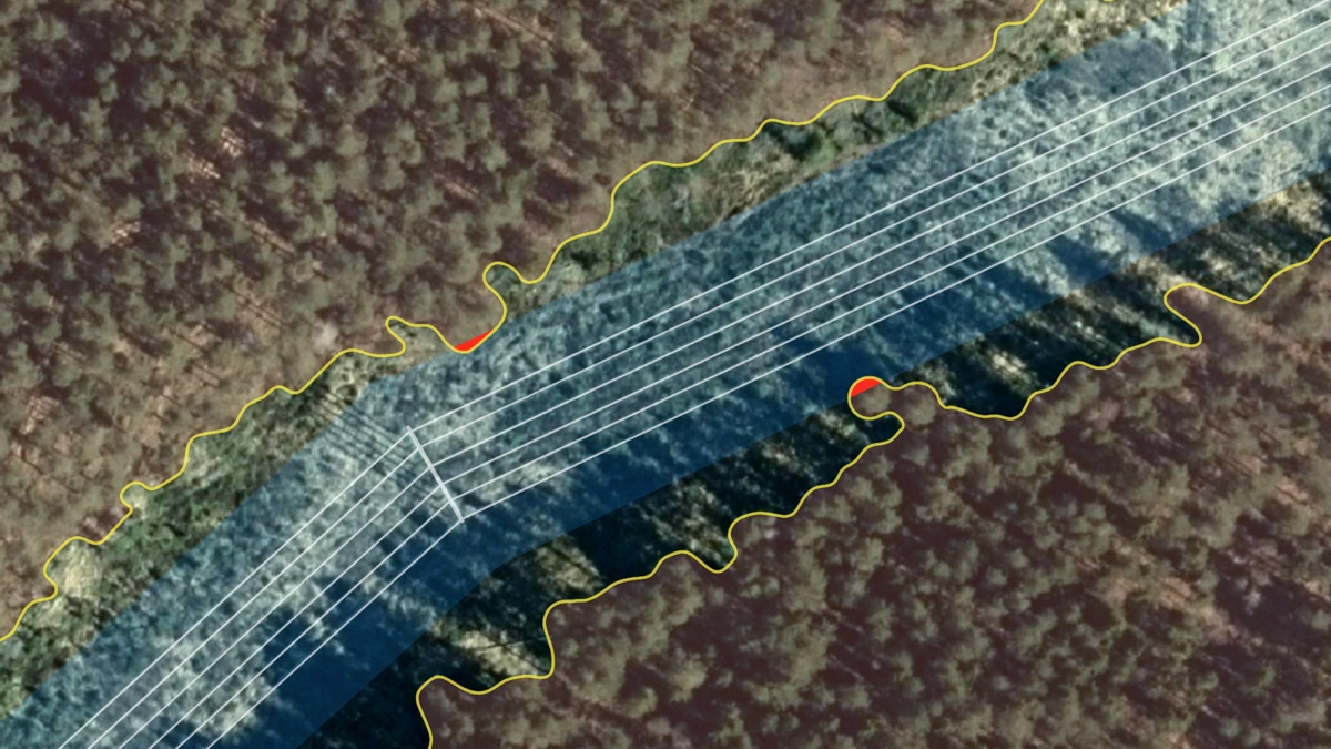
Spacept utilizes high resolution satellite imagery with custom algorithms to conduct large scale analysis. Specifically, our solution can cover hundreds of miles within seconds. Compared to traditional methods, our technology enables the quickest lead times at the lowest cost.

Ultimately, we offer the best product for your business with respect to time, money, and efficiency.

Our Process

Data Acquisition

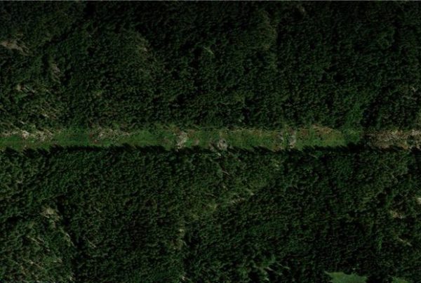
Here, we provide businesses with data most suitable to their needs. By using the concerned area’s coordinates, we can collect optical or radar data from our suite of data partners.

AI-Powered Analysis

After processing, we then put the satellite imagery into our custom tailored algorithms to generate results.

Provide Results

Then, we provide these results in the most optimal format that tailors to your business needs.

Electricity Infrastructure Solutions

Risk Level of Vegetation Encroachment

Our risk generation models determine vegetation that grows too close to powerlines by measuring the distance between the tree and power line. Then, we can automatically identify certain risk levels and take in other environmental considerations. In addition, this risk level tool can be used to prevent damage to energy assets and lower the risk of wildfires.

Growth & Health of Vegetation Around Infrastructure

Using specialized satellite data, we determine the growth of vegetation over a specified period and identify the occurred changes. After mapping the changes, Spacept can apply these data to predict future results and risk levels.

Height of Individual Trees Estimator

Our tool assesses the height of trees around infrastructure and the subsequent risk in relation the the height of powerlines. This provides another perspective to evaluate the potential risk of vegetation to electricity infrastructure.

Geolocation of Energy Assets

Customized satellite imagery enables us to determine the exact location of energy assets. Specifically, an accurate asset inventory of all energy can help in simplifying future inspections, general tracking, and management.

Learn more about electricity infrastructure

News

Preventing wildfires by keeping trees and power lines separate.

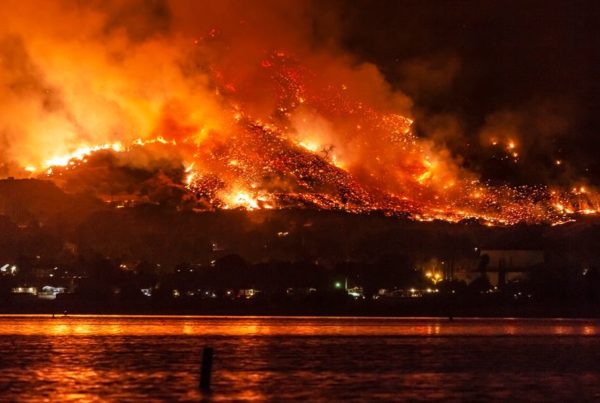
Wildfires are increasing in size, both in California and across the western U.S. At Spacept, we fuse satellite images with AI to prevent power outages…
News

How Spacept Is Using Artificial Intelligence And Satellite Imagery To Tackle Climate Change

Tell us your background and about Spacept Sergiu Iliev (SI): I am an aerospace engineer and serial entrepreneur. After graduating from Imperial College London with a…
Blog

How utility companies can save lives with AI from space

Introduction Naturally occurring forest fires are necessary for a diverse and resilient ecosystem. However, global warming has exponentially increased the frequency and severity of fires…