AI-Automated Satellite Image Analysis
Quickly identify risks to infrastructure
Spacept’s satellite image analysis equips inspection and management processes to be time, cost and energy efficient.
Spacept’s satellite image analysis equips inspection and management processes to be time, cost and energy efficient.
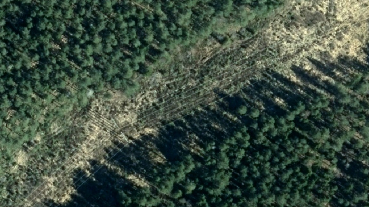
Fresh raw imagery is collected from selected area
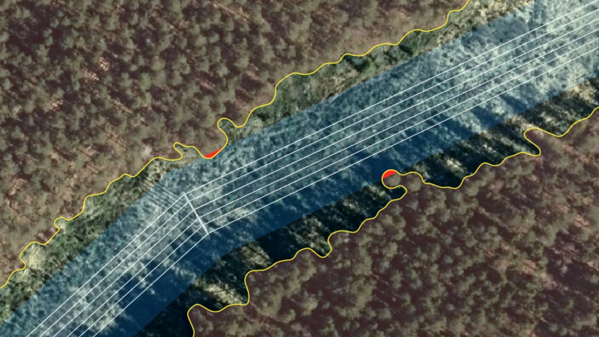
Our algorithms automatically detect critical risks and damage to infrastructure