Our technology streamlines how businesses protect their road infrastructure.
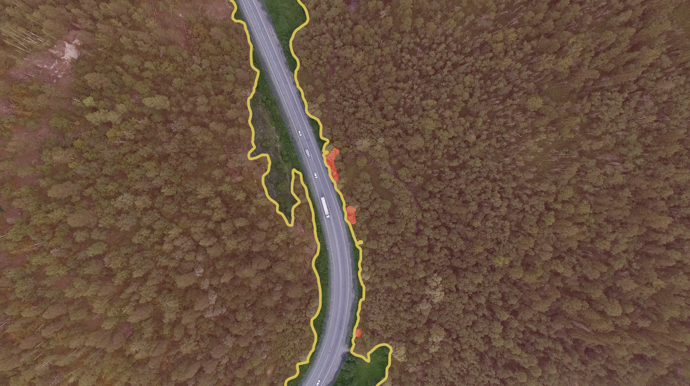
Risk prevention through Spacept's computer vision and satellite imagery solution is the most efficient your business has seen.
spacept's value
A solution that enables resilience.
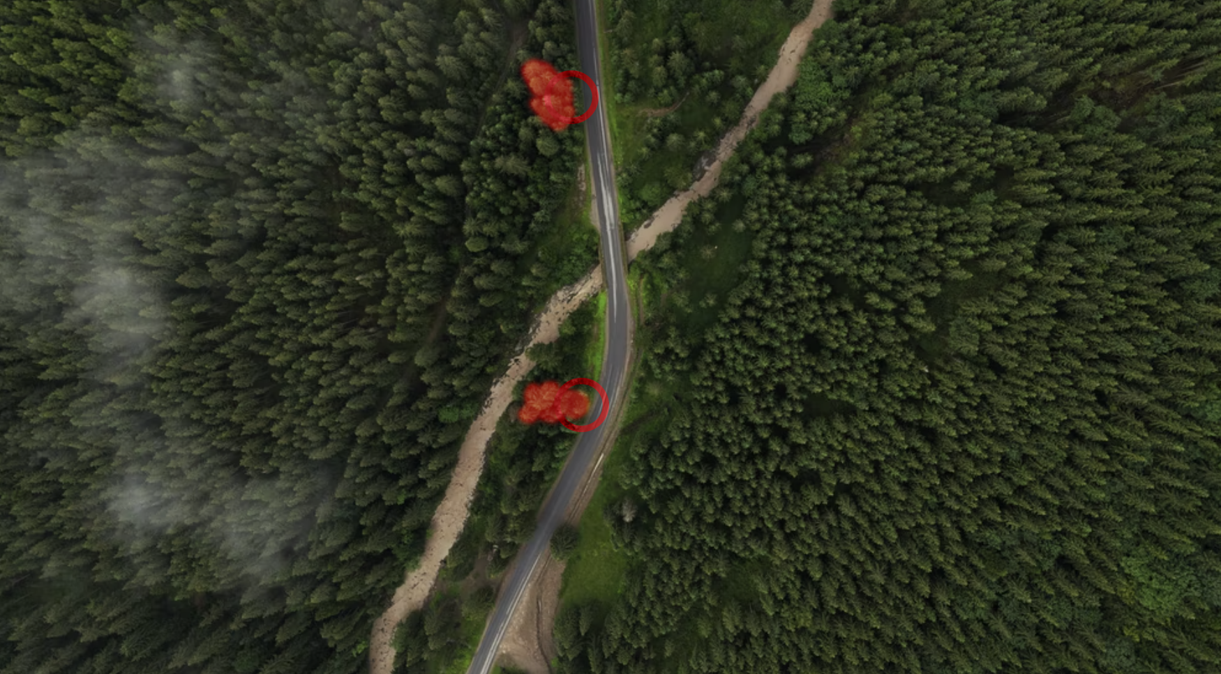
At Spacept, we help companies detect risk before the trouble happens.
Here, we utilize high resolution satellite imagery with custom algorithms to conduct large scale analysis. Specifically, our solution can cover hundreds of miles within seconds. Compared to traditional methods, our technology enables the quickest lead times at the lowest cost.
Ultimately, we offer the best product for your business with respect to time, money, and efficiency.
Our Process

Data Acquisition
Here, we provide businesses with data most suitable to their needs. By using the concerned area’s coordinates, we can collect optical or radar data from our suite of data partners.

AI-Powered Analysis
After processing, we then put the satellite imagery into our custom tailored algorithms to generate results.

Provide Results
Afterwards, we provide these results in the most optimal format that tailors to your business needs.
Learn more about Spacept
